People sometimes get the “Pumping Station” on James Ave mixed up with the River Level Measurement Station.
They are very close together, but not the same thing!
Read below to clarify.
FROM: http://www.winnipeg.ca/services/CityLife/HistoryOfWinnipeg/flood/james_ave_datum.stm
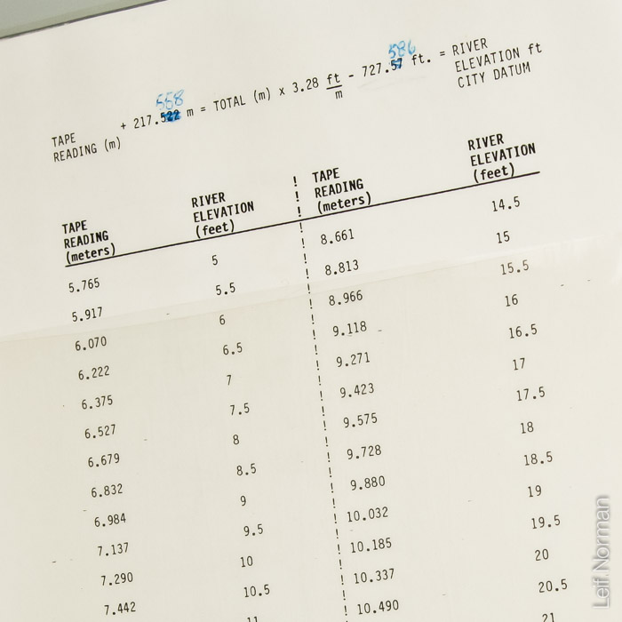
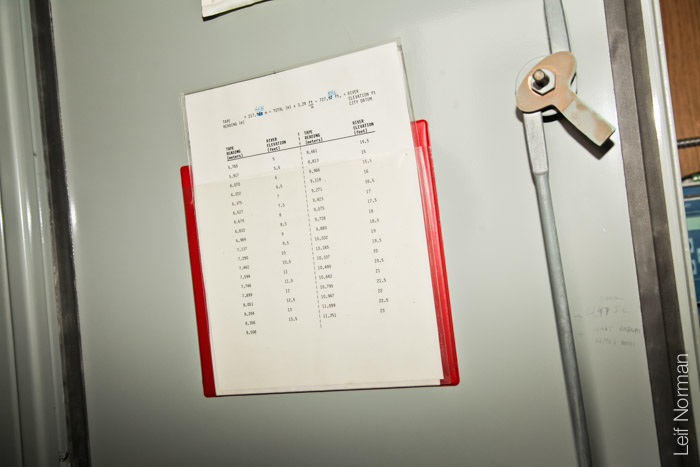
“Winnipeg references its primary water level to a guage located on the Red River at James Avenue. The guage is just downstream of the Forks, at the junction of the Assiniboine River. In a “normal” summer, water levels are maintained around James 6.5 ft. In the spring, a moderate flood will exceed James 18 ft. The zero point for this guage is normal winter ice level and is established as 727.57′ above mean sea level.
While James Avenue serves as a useful single reference to water levels in the city, technically its water level only applies to this location as rivers have a slope to them, as opposed to lakes which have constant a water level. North of the James Avenue guage, which is downstream, water levels will be lower. In the south end of the city, which is upstream, water levels will be higher depending on the flow in both the Red and Assiniboine Rivers.
 In the summer, St. Andrews Lock and Dam (SALD) regulates water levels and the structure is operated to try to maintain 6.5 ft at James Avenue. Under relatively low flow conditions, SALD maintains a relative constant level throughout the city as flows increase there is a noticeable gradient in the river. When flows exceed 13,000 cubic feet per second (cfs), the SALD structure is wide open and levels at James begin to rise above 6.5 ft.
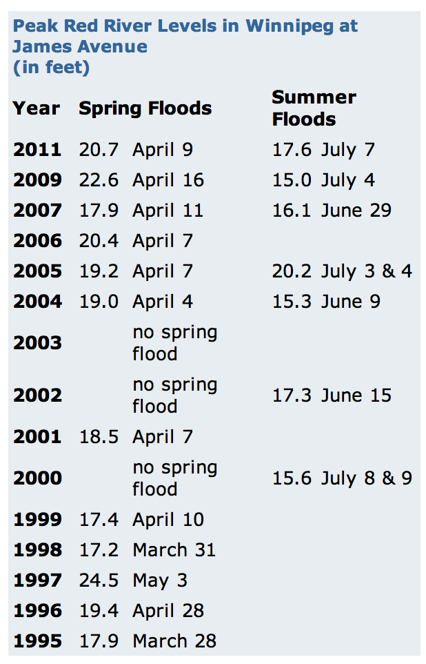
During the spring flood with much higher flows, there is a steeper gradient in the river and the amount of flow coming from the Assiniboine River has a significant impact on the water levels in Winnipeg. During the 1997 flood, the Flood of the Century, the majority of the flow was on the Red River and very little on the Assiniboine River (~3,000 cfs). In the 2011 flood, there were very high flows on the Assiniboine River and levels in the south end of the city were considerably lower for a comparable James Avenue level. During floods, the flow on both our main rivers (Red and Assiniboine) are important factors. These flows are plugged into the City’s Flood Manual to define a water level profile for the Red, Assiniboine and Seine rivers to base our flood fighting efforts on.
While James Avenue is the City’s main guage, water levels are monitored at a number of other locations on the Red and Assiniboine rivers. These levels are monitored ultrasonically, measuring the distance between the probe and the water level by bouncing a signal off the water. It works a lot like radar. The information recorded is then fed back to the McPhillips Control Centre. During a flood, the City monitors water levels at all these points as well as guages operated by other agencies. When levels are monitored at other locations, the James Avenue datum is not used and the actual geodetic elevation (above sea level) is used.
How does James record water levels?
At the James Avenue gauge, there is a downtown City facility, James Ave High Pressure Pumping Station, located on the riverbank. Within the pumping station, vital pieces of equipment (e.g., chart recorder, control box, electronic level transmitter) give the City a water level reading from the James Avenue location. An electronic level transmitter (a measuring tape) drops into a culvert that goes out to the Red River. It measures water pressure as it comes up or down, sends a signal to the control box, which transmits every 15 minutes via the telephone line to the McPhillips Control Centre. In earlier years, prior to electronic readings, the station was staffed 24 hours a day and was used to collect information for the operation of St. Andrews Lock & Dam.
Water pressure is measured through this culvert that goes into the Red River.”
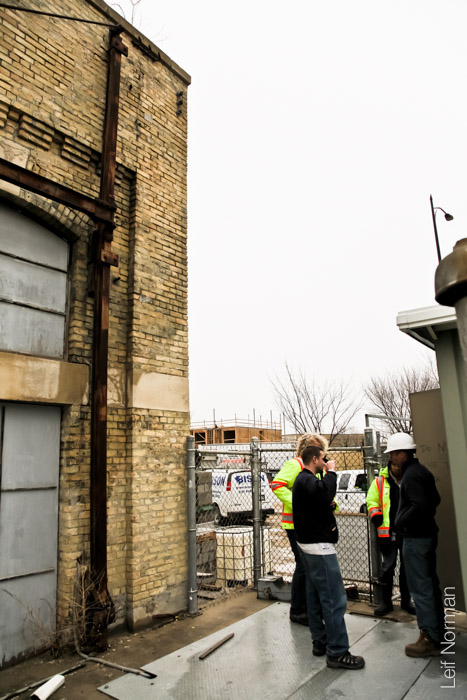
The James Avenue Pumping station is the large brick building in the centre. The little green shack on the left is the Measurement Station for the Red River. Winnipeg
From: http://www.virtual.heritagewinnipeg.com/vignettes/vignettes_027W.htm#
“James Street Pumping Station
Much of downtown Winnipeg was threatened in 1904 when a fire raged out of control at James Ashdown’s Main Street hardware store. The domestic water supply, fed by artesian wells, proved inadequate to fight a fire of this scale. Untreated Red River water was pumped into the domestic supply in a desperate attempt to increase water pressure. The fire was extinguished but contamination of the city’s water supply resulted in 1,300 cases of typhoid fever in the following days.
Winnipeg already had North America’s highest rate of typhoid since much of the immigrant population north of downtown had no access to the artesian wells and regularly consumed river water. Regardless, the business-oriented civic leaders saw fire protection for their new commercial buildings as the priority. James Ashdown, owner of the fire-ravaged hardware store and foremost member of Winnipeg’ commercial/political elite, led the way in the construction of the James Avenue High Pressure Pumping Station. He became Winnipeg’s mayor in 1906.
The Pumping Station was considered the most sophisticated in the world. Water was drawn directly from the Red River and pushed through an eight-mile network of high-pressure lines to more than seventy downtown fire hydrants. The system was completely isolated from the domestic water supply. Four large pumps were each capable of delivering 1800 gallons per minute and two smaller pumps each produced an additional 900 gallons per minute. As a result, any hydrant in the network could produce a 600-foot stream of water, roughly the height of a fifty-story building. By this time Winnipeg had its earliest steel-frame “skyscrapers”. It was anticipated that the new steelframe technology would send buildings much higher in the future. The Pumping Station assured fire protection for existing as well as prospective buildings.
The British built pumping machinery was set in place in working order before the handsome brick building was constructed over it’ a true example of form following function. An excellent example of early industrial architecture, the building is designed in a straightforward and utilitarian manner. The sole decorative feature is the corbelled brickwork above the large arched windows.
In 1919, the station was connected to the new Shoal Lake Aqueduct. This source was preferable to the muddy water of the Red River. A neighbouring coal gas producer plant and large gas storage tank were demolished in 1962 when the engines were converted to natural gas and electricity. The James Avenue Pumping Station was taken out of service in 1986, a victim of higher operating costs, deteriorating water mains, and modern pumper trucks which offer firefighters greater flexibility.
Today the sophisticated pumping system and the attractive building housing it, stand as a well-preserved example of the “golden age” of machinery.”
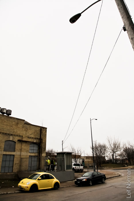
This building, hanging over the Red River, was also part of the Pumping Station infrastructure. It is now being repurposed. April 2013, Winnipeg.
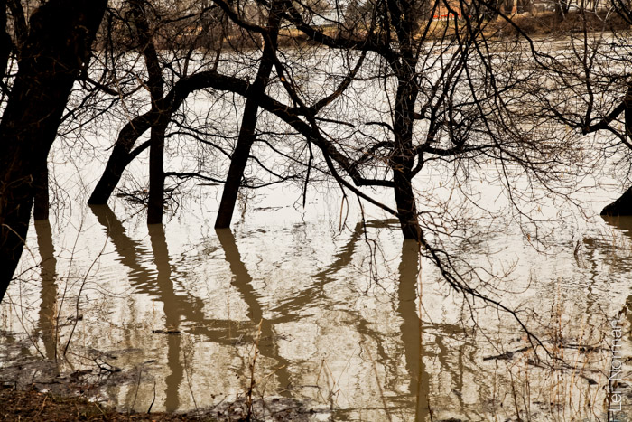
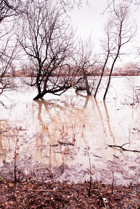
The Red River rising in the spring. April 2013
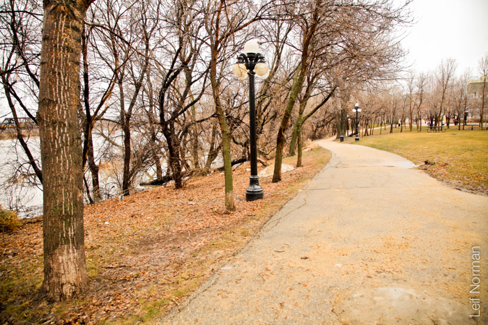
A trail down by the Red River
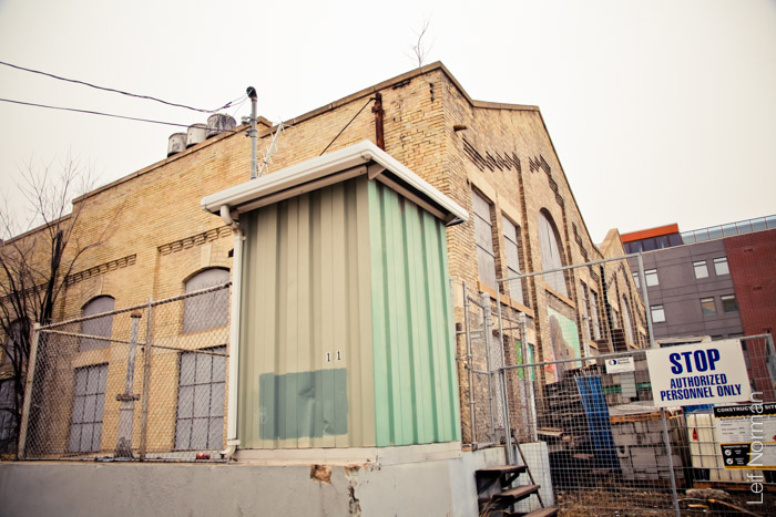
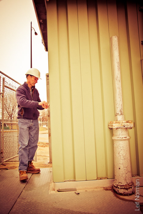
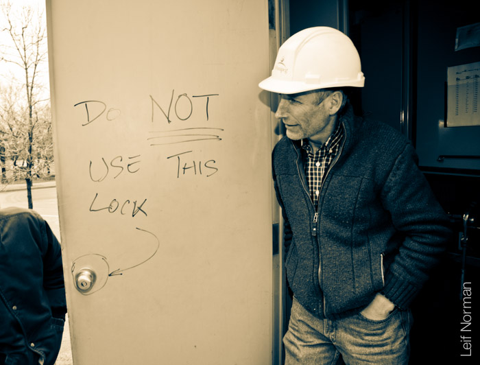
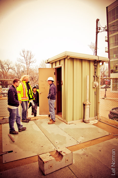
The James Avenue River Level Measurement Station (or level transmitter)
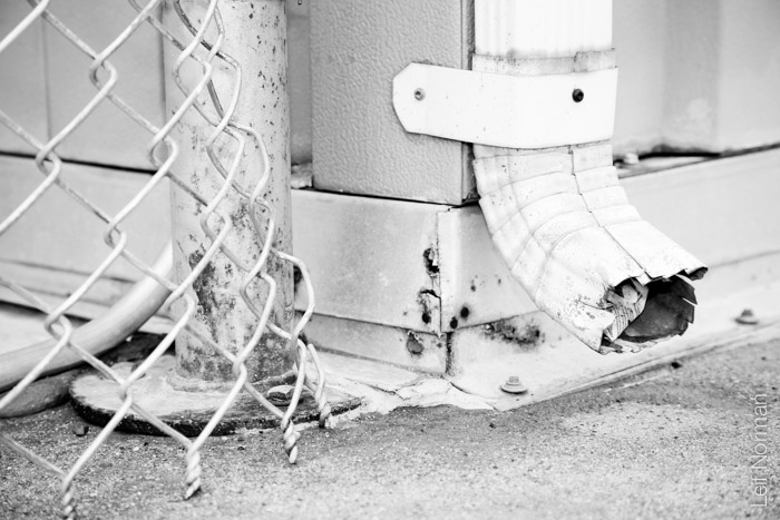
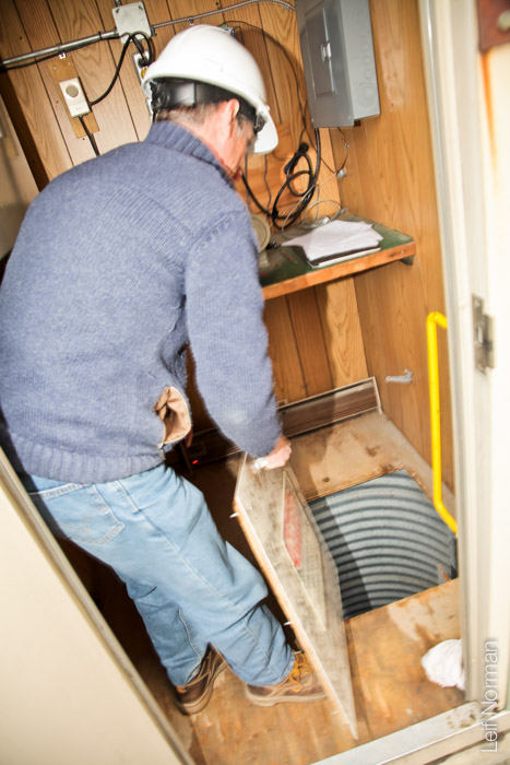
The shaft down to the water is covered by a protective panel
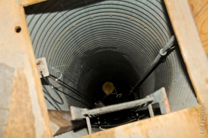
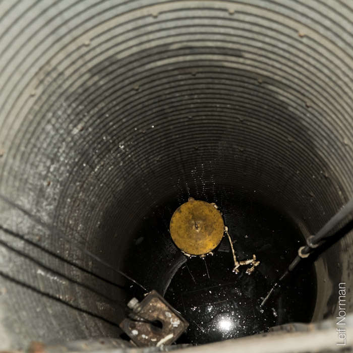
Looking down to the Red River level, James Ave station, Winnipeg
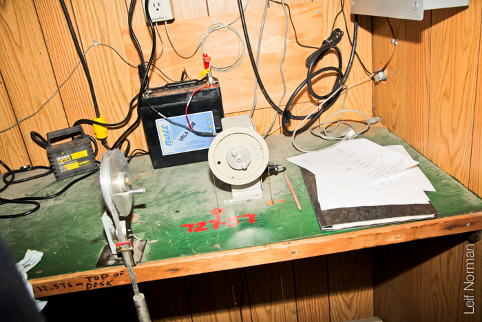
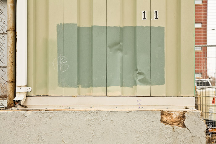
The equipment that senses the level of the Red River, Winnipeg
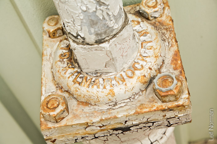
old peeling paint on a pipe